
Yuyin topographic map
Interactive map
Click on the map to display elevation.
About this map
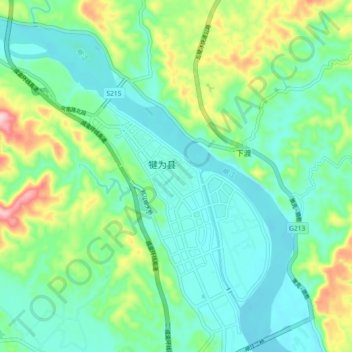
Name: Yuyin topographic map, elevation, terrain.
Location: Yuyin, Qianwei County, Leshan, Sichuan, China (29.16851 103.90732 29.24851 103.98732)
Average elevation: 370 m
Minimum elevation: 311 m
Maximum elevation: 536 m