
Betws-y-coed topographic map
Interactive map
Click on the map to display elevation.
About this map
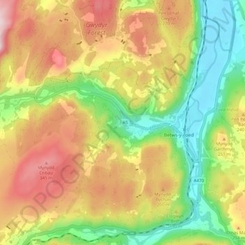
Name: Betws-y-coed topographic map, elevation, terrain.
Location: Betws-y-coed, Conwy, Wales, United Kingdom (53.06528 -3.85457 53.12319 -3.78688)
Average elevation: 186 m
Minimum elevation: 7 m
Maximum elevation: 390 m