
Thank you for supporting this site ❤️
Make a donation
Make a donation
Greenville topographic map
Click on the map to display elevation.
Thank you for supporting this site ❤️
Make a donation
Make a donation
About this map
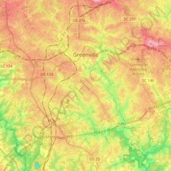
Name: Greenville topographic map, elevation, terrain.
Location: Greenville, Greenville County, South Carolina, United States (34.76654 -82.43491 34.89260 -82.28689)
Average elevation: 290 m
Minimum elevation: 200 m
Maximum elevation: 408 m
Thank you for supporting this site ❤️
Make a donation
Make a donation