
Migdal topographic map
Click on the map to display elevation.
About this map
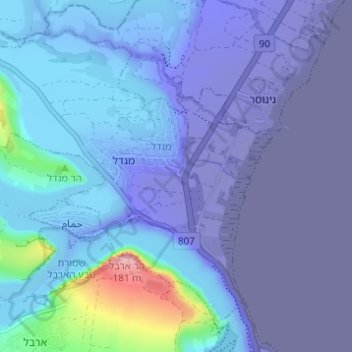
Name: Migdal topographic map, elevation, terrain.
Location: Migdal, Kinneret Subdistrict, North District, Israel (32.81517 35.46392 32.85776 35.52537)
Average elevation: -77 m
Minimum elevation: -217 m
Maximum elevation: 171 m