
Astráin topographic map
Interactive map
Click on the map to display elevation.
About this map
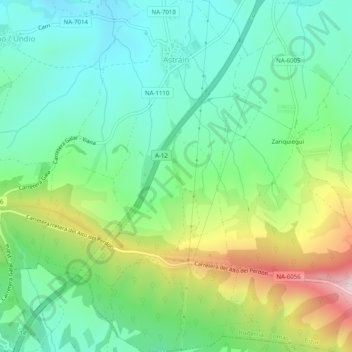
Name: Astráin topographic map, elevation, terrain.
Location: Astráin, Cizur, Iruñerria / Comarca de Pamplona, Spain (42.72569 -1.75949 42.76229 -1.73074)
Average elevation: 617 m
Minimum elevation: 460 m
Maximum elevation: 962 m