
Haut-Rhin topographic map
Interactive map
Click on the map to display elevation.
About this map
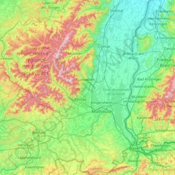
Name: Haut-Rhin topographic map, elevation, terrain.
Location: Haut-Rhin, Grand Est, Metropolitan France, France (47.42034 6.84132 48.31134 7.62201)
Average elevation: 444 m
Minimum elevation: 155 m
Maximum elevation: 1,392 m