
Gemeinde Volders topographic map
Click on the map to display elevation.
About this map
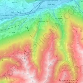
Name: Gemeinde Volders topographic map, elevation, terrain.
Location: Gemeinde Volders, Bezirk Innsbruck-Land, Tyrol, 6111, Austria (47.17087 11.54034 47.30044 11.59481)
Average elevation: 1,547 m
Minimum elevation: 545 m
Maximum elevation: 2,768 m