
Eure-et-Loir topographic map
Interactive map
Click on the map to display elevation.
About this map
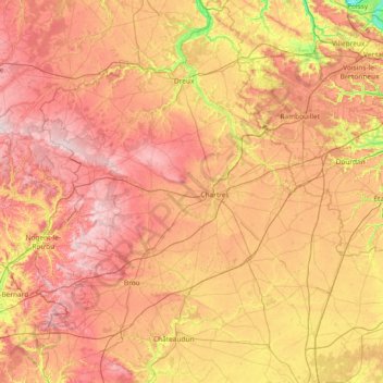
Name: Eure-et-Loir topographic map, elevation, terrain.
Location: Eure-et-Loir, Centre-Val de Loire, Metropolitan France, France (47.95402 0.75565 48.94103 1.99454)
Average elevation: 159 m
Minimum elevation: 20 m
Maximum elevation: 298 m