
Hedmark topographic map
Interactive map
Click on the map to display elevation.
About this map
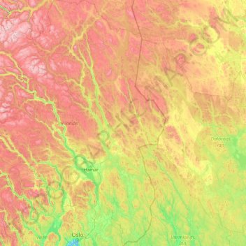
Name: Hedmark topographic map, elevation, terrain.
Location: Hedmark, Norway (59.84078 9.58383 62.69693 12.87086)
Average elevation: 607 m
Minimum elevation: 0 m
Maximum elevation: 2,183 m