
Val Thorens topographic map
Interactive map
Click on the map to display elevation.
Val Thorens
The resort hosted a Tour de France stage finish in 1994. Nelson Rodriguez of Colombia won the stage, which had the second highest elevation for a stage finish in the history of the Tour de France.
About this map
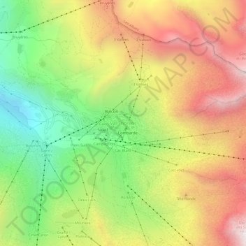
Name: Val Thorens topographic map, elevation, terrain.
Average elevation: 2,516 m
Minimum elevation: 1,914 m
Maximum elevation: 3,145 m