
Sullivan County topographic map
Interactive map
Click on the map to display elevation.
About this map
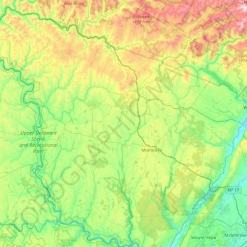
Name: Sullivan County topographic map, elevation, terrain.
Location: Sullivan County, New York, United States (41.42146 -75.14682 42.01666 -74.36433)
Average elevation: 435 m
Minimum elevation: 98 m
Maximum elevation: 1,259 m