
Kaluthara topographic map
Interactive map
Click on the map to display elevation.
About this map
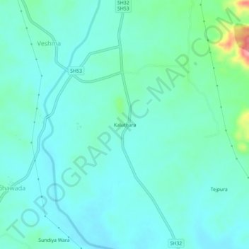
Name: Kaluthara topographic map, elevation, terrain.
Location: Kaluthara, Salumbar Tehsil, Udaipur, Rajasthan, 313027, India (24.08882 74.01903 24.12882 74.05903)
Average elevation: 242 m
Minimum elevation: 221 m
Maximum elevation: 338 m