
Miri topographic map
Interactive map
Click on the map to display elevation.
About this map
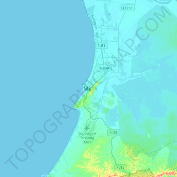
Name: Miri topographic map, elevation, terrain.
Location: Miri, Sarawak, 98000, Malaysia (4.23274 113.82803 4.55274 114.14803)
Average elevation: 9 m
Minimum elevation: -1 m
Maximum elevation: 208 m