
Isra topographic map
Interactive map
Click on the map to display elevation.
About this map
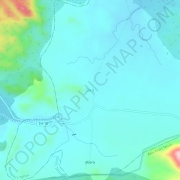
Name: Isra topographic map, elevation, terrain.
Location: Isra, Pindwara Tehsil, Sirohi District, Rajasthan, India (24.71374 72.79150 24.75374 72.83150)
Average elevation: 398 m
Minimum elevation: 356 m
Maximum elevation: 668 m