
Gendabi topographic map
Interactive map
Click on the map to display elevation.
About this map
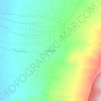
Name: Gendabi topographic map, elevation, terrain.
Location: Gendabi, Hanang, Manyara, Northern Zone, Tanzania (-4.44826 35.32698 -4.40826 35.36698)
Average elevation: 1,800 m
Minimum elevation: 1,646 m
Maximum elevation: 2,167 m