
Bahla topographic map
Interactive map
Click on the map to display elevation.
About this map
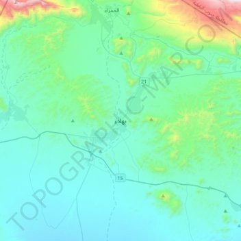
Name: Bahla topographic map, elevation, terrain.
Location: Bahla, Ad Dakhiliyah, 617, Oman (22.81003 57.13870 23.13003 57.45870)
Average elevation: 670 m
Minimum elevation: 454 m
Maximum elevation: 2,002 m