
Chachoengsao Province topographic map
Interactive map
Click on the map to display elevation.
About this map
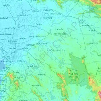
Name: Chachoengsao Province topographic map, elevation, terrain.
Location: Chachoengsao Province, Thailand (13.17157 100.75000 13.97667 101.99887)
Average elevation: 70 m
Minimum elevation: -2 m
Maximum elevation: 1,524 m