
Kurdistan Province topographic map
Interactive map
Click on the map to display elevation.
About this map
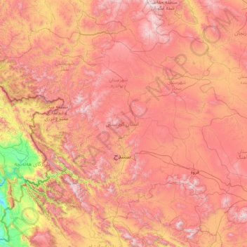
Name: Kurdistan Province topographic map, elevation, terrain.
Location: Kurdistan Province, Iran (34.73657 45.55765 36.45945 48.28730)
Average elevation: 1,754 m
Minimum elevation: 371 m
Maximum elevation: 3,287 m