
Wayne topographic map
Interactive map
Click on the map to display elevation.
About this map
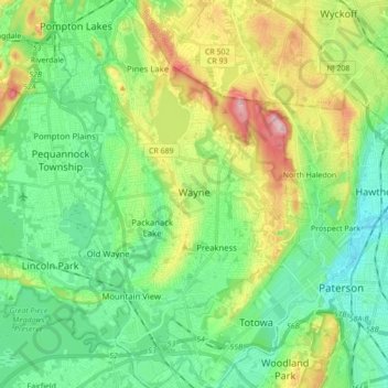
Name: Wayne topographic map, elevation, terrain.
Location: Wayne, Passaic County, New Jersey, United States of America (40.88287 -74.28928 41.01404 -74.19554)
Average elevation: 86 m
Minimum elevation: 9 m
Maximum elevation: 261 m