
Koshi River topographic map
Interactive map
Click on the map to display elevation.
About this map
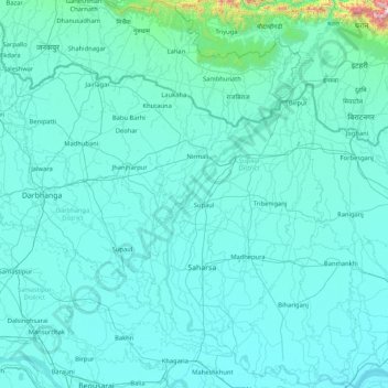
Name: Koshi River topographic map, elevation, terrain.
Location: Koshi River, Bihar, 848114, India (25.40379 86.43871 26.91019 87.26669)
Average elevation: 88 m
Minimum elevation: 23 m
Maximum elevation: 1,975 m