
Biri topographic map
Interactive map
Click on the map to display elevation.
About this map
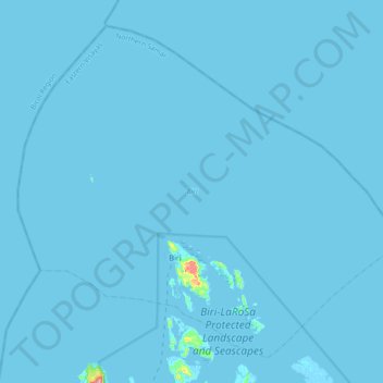
Name: Biri topographic map, elevation, terrain.
Location: Biri, Northern Samar, Eastern Visayas, Philippines (12.58855 124.21308 12.89445 124.57507)
Average elevation: 1 m
Minimum elevation: -3 m
Maximum elevation: 152 m