
Segno topographic map
Interactive map
Click on the map to display elevation.
About this map
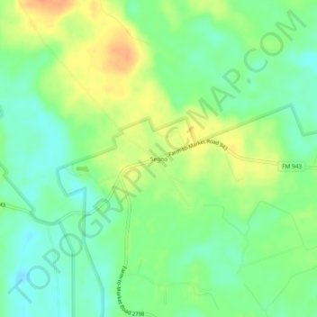
Name: Segno topographic map, elevation, terrain.
Location: Segno, Polk County, Texas, United States (30.55715 -94.70632 30.59715 -94.66632)
Average elevation: 60 m
Minimum elevation: 43 m
Maximum elevation: 81 m