
Monee topographic map
Interactive map
Click on the map to display elevation.
About this map
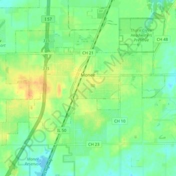
Name: Monee topographic map, elevation, terrain.
Location: Monee, Will County, Illinois, 60449, United States (41.39765 -87.78366 41.43420 -87.70913)
Average elevation: 239 m
Minimum elevation: 226 m
Maximum elevation: 256 m