
Andrimont topographic map
Interactive map
Click on the map to display elevation.
About this map
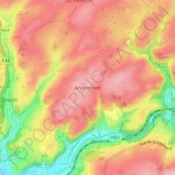
Name: Andrimont topographic map, elevation, terrain.
Location: Andrimont, Dison, Verviers, Liège, Wallonia, 4821, Belgium (50.59414 5.86282 50.63414 5.90282)
Average elevation: 247 m
Minimum elevation: 163 m
Maximum elevation: 299 m