
Thank you for supporting this site ❤️
Make a donation
Make a donation
Cuervo topographic map
Click on the map to display elevation.
Thank you for supporting this site ❤️
Make a donation
Make a donation
About this map
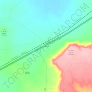
Name: Cuervo topographic map, elevation, terrain.
Location: Cuervo, Guadalupe County, New Mexico, United States (35.01117 -104.42859 35.05117 -104.38859)
Average elevation: 1,502 m
Minimum elevation: 1,440 m
Maximum elevation: 1,620 m
Thank you for supporting this site ❤️
Make a donation
Make a donation
Other topographic maps
Click on a map to view its topography, its elevation and its terrain.