
Thank you for supporting this site ❤️
Make a donation
Make a donation
Kotwali Tehsil topographic map
Click on the map to display elevation.
Thank you for supporting this site ❤️
Make a donation
Make a donation
About this map
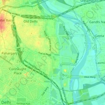
Name: Kotwali Tehsil topographic map, elevation, terrain.
Location: Kotwali Tehsil, Central Delhi, Delhi, India (28.61236 77.20856 28.67090 77.26427)
Average elevation: 212 m
Minimum elevation: 197 m
Maximum elevation: 242 m
Thank you for supporting this site ❤️
Make a donation
Make a donation
Other topographic maps
Click on a map to view its topography, its elevation and its terrain.