
Thank you for supporting this site ❤️
Make a donation
Make a donation
Nalthur topographic map
Click on the map to display elevation.
Thank you for supporting this site ❤️
Make a donation
Make a donation
About this map
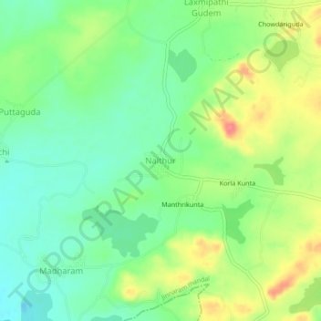
Name: Nalthur topographic map, elevation, terrain.
Location: Nalthur, Jinnaram mandal, Sangareddy, Telangana, India (17.57980 78.30518 17.61980 78.34518)
Average elevation: 568 m
Minimum elevation: 541 m
Maximum elevation: 609 m
Thank you for supporting this site ❤️
Make a donation
Make a donation