
Thank you for supporting this site ❤️
Make a donation
Make a donation
Odell Lake topographic map
Click on the map to display elevation.
Thank you for supporting this site ❤️
Make a donation
Make a donation
About this map
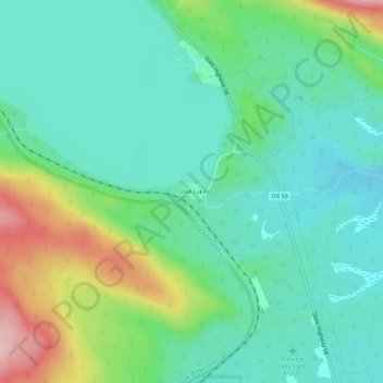
Name: Odell Lake topographic map, elevation, terrain.
Location: Odell Lake, Klamath County, Oregon, United States (43.52901 -121.98475 43.56901 -121.94475)
Average elevation: 1,492 m
Minimum elevation: 1,429 m
Maximum elevation: 1,656 m
Thank you for supporting this site ❤️
Make a donation
Make a donation