
Thank you for supporting this site ❤️
Make a donation
Make a donation
Castle Dale topographic map
Click on the map to display elevation.
Thank you for supporting this site ❤️
Make a donation
Make a donation
About this map
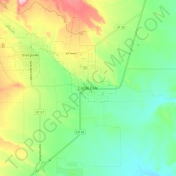
Name: Castle Dale topographic map, elevation, terrain.
Location: Castle Dale, Emery County, Utah, 84513, United States (39.17219 -111.05961 39.25219 -110.97961)
Average elevation: 1,745 m
Minimum elevation: 1,672 m
Maximum elevation: 1,874 m
Thank you for supporting this site ❤️
Make a donation
Make a donation