
Thank you for supporting this site ❤️
Make a donation
Make a donation
Roma topographic map
Click on the map to display elevation.
Thank you for supporting this site ❤️
Make a donation
Make a donation
About this map
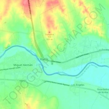
Name: Roma topographic map, elevation, terrain.
Location: Roma, Starr County, Texas, 78584, United States (26.36707 -99.04555 26.44707 -98.96555)
Average elevation: 68 m
Minimum elevation: 45 m
Maximum elevation: 113 m
Thank you for supporting this site ❤️
Make a donation
Make a donation