
Thank you for supporting this site ❤️
Make a donation
Make a donation
Bryantsville topographic map
Click on the map to display elevation.
Thank you for supporting this site ❤️
Make a donation
Make a donation
About this map
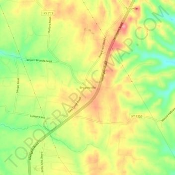
Name: Bryantsville topographic map, elevation, terrain.
Location: Bryantsville, Garrard County, Kentucky, 40410, United States (37.69452 -84.66911 37.73452 -84.62911)
Average elevation: 281 m
Minimum elevation: 231 m
Maximum elevation: 323 m
Thank you for supporting this site ❤️
Make a donation
Make a donation
Other topographic maps
Click on a map to view its topography, its elevation and its terrain.