
Thank you for supporting this site ❤️
Make a donation
Make a donation
Audubon Park topographic map
Click on the map to display elevation.
Thank you for supporting this site ❤️
Make a donation
Make a donation
About this map
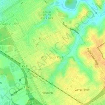
Name: Audubon Park topographic map, elevation, terrain.
Location: Audubon Park, Jefferson County, Kentucky, United States (38.19950 -85.73516 38.21079 -85.71914)
Average elevation: 155 m
Minimum elevation: 139 m
Maximum elevation: 167 m
Thank you for supporting this site ❤️
Make a donation
Make a donation