
Thank you for supporting this site ❤️
Make a donation
Make a donation
Mendefera topographic map
Click on the map to display elevation.
Thank you for supporting this site ❤️
Make a donation
Make a donation
About this map
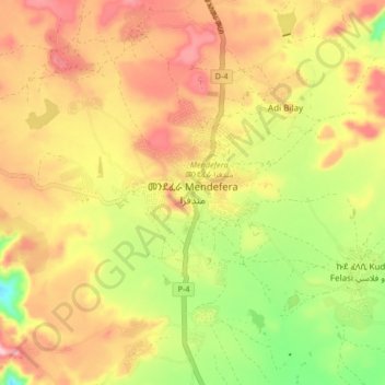
Name: Mendefera topographic map, elevation, terrain.
Location: Mendefera, Debub Region, Eritrea (14.84412 38.77294 14.92412 38.85294)
Average elevation: 1,976 m
Minimum elevation: 1,857 m
Maximum elevation: 2,077 m
Thank you for supporting this site ❤️
Make a donation
Make a donation