
洛河桥村 topographic map
Interactive map
Click on the map to display elevation.
About this map
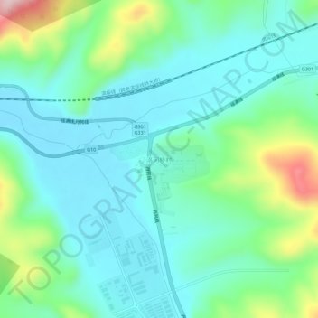
Name: 洛河桥村 topographic map, elevation, terrain.
Location: 洛河桥村, 阜宁镇, 绥芬河市, 牡丹江市, 黑龙江省, 中国 (44.35500 131.02477 44.39500 131.06477)
Average elevation: 437 m
Minimum elevation: 367 m
Maximum elevation: 665 m