
Thank you for supporting this site ❤️
Make a donation
Make a donation
Aubery Lake topographic map
Click on the map to display elevation.
Thank you for supporting this site ❤️
Make a donation
Make a donation
About this map
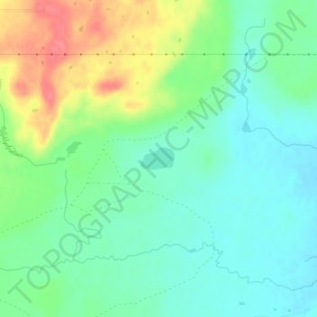
Name: Aubery Lake topographic map, elevation, terrain.
Location: Aubery Lake, Glacier County, Montana, United States (48.58555 -112.95114 48.58743 -112.94673)
Average elevation: 1,307 m
Minimum elevation: 1,285 m
Maximum elevation: 1,350 m
Thank you for supporting this site ❤️
Make a donation
Make a donation