
Calvert Green topographic map
Interactive map
Click on the map to display elevation.
About this map
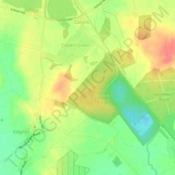
Name: Calvert Green topographic map, elevation, terrain.
Location: Calvert Green, Buckinghamshire, England, United Kingdom (51.89518 -1.01180 51.91611 -0.97436)
Average elevation: 86 m
Minimum elevation: 54 m
Maximum elevation: 117 m