
Thank you for supporting this site ❤️
Make a donation
Make a donation
Weyers Cave topographic map
Click on the map to display elevation.
Thank you for supporting this site ❤️
Make a donation
Make a donation
About this map
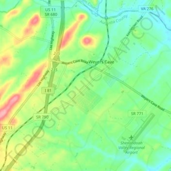
Name: Weyers Cave topographic map, elevation, terrain.
Location: Weyers Cave, Augusta County, Virginia, 24486, United States (38.25097 -78.94310 38.30957 -78.88269)
Average elevation: 364 m
Minimum elevation: 328 m
Maximum elevation: 434 m
Thank you for supporting this site ❤️
Make a donation
Make a donation