
Thank you for supporting this site ❤️
Make a donation
Make a donation
Millwood topographic map
Click on the map to display elevation.
Thank you for supporting this site ❤️
Make a donation
Make a donation
About this map
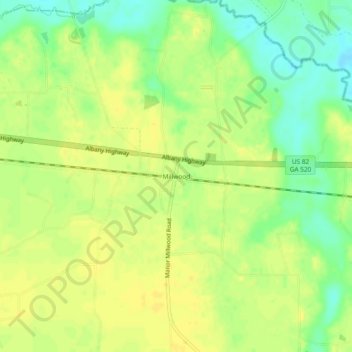
Name: Millwood topographic map, elevation, terrain.
Location: Millwood, Ware County, Georgia, 31624, United States (31.24576 -82.68042 31.28576 -82.64042)
Average elevation: 46 m
Minimum elevation: 31 m
Maximum elevation: 54 m
Thank you for supporting this site ❤️
Make a donation
Make a donation