
Thank you for supporting this site ❤️
Make a donation
Make a donation
Stella topographic map
Click on the map to display elevation.
Thank you for supporting this site ❤️
Make a donation
Make a donation
About this map
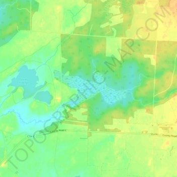
Name: Stella topographic map, elevation, terrain.
Average elevation: 491 m
Minimum elevation: 476 m
Maximum elevation: 505 m
Thank you for supporting this site ❤️
Make a donation
Make a donation
Other topographic maps
Click on a map to view its topography, its elevation and its terrain.
Thank you for supporting this site ❤️
Make a donation
Make a donation
Thank you for supporting this site ❤️
Make a donation
Make a donation
Thank you for supporting this site ❤️
Make a donation
Make a donation
Sugar Camp Lake
United States > Wisconsin > Oneida County > Town of Sugar Camp > Sugar Camp
Average elevation: 508 m