
Nyarugenge District topographic map
Interactive map
Click on the map to display elevation.
About this map
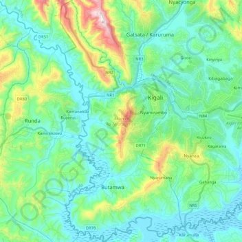
Name: Nyarugenge District topographic map, elevation, terrain.
Location: Nyarugenge District, Kigali City, Rwanda (-2.07588 29.97953 -1.86686 30.08506)
Average elevation: 1,486 m
Minimum elevation: 1,336 m
Maximum elevation: 2,069 m