
Thank you for supporting this site ❤️
Make a donation
Make a donation
Switzer Dam topographic map
Click on the map to display elevation.
Thank you for supporting this site ❤️
Make a donation
Make a donation
About this map
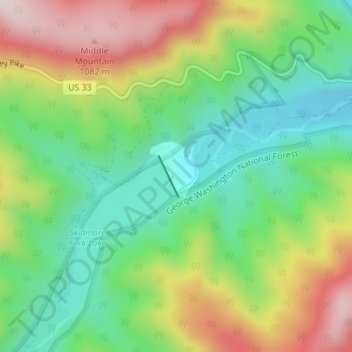
Name: Switzer Dam topographic map, elevation, terrain.
Location: Switzer Dam, Rockingham County, Virginia, United States (38.57010 -79.13902 38.57325 -79.13709)
Average elevation: 825 m
Minimum elevation: 641 m
Maximum elevation: 1,105 m
Thank you for supporting this site ❤️
Make a donation
Make a donation
Other topographic maps
Click on a map to view its topography, its elevation and its terrain.
Thank you for supporting this site ❤️
Make a donation
Make a donation
Bridgewater
United States > Virginia > Rockingham County
According to the United States Census Bureau, the town has a total area of 2.52 sq mi (6.5 km2), nearly all of it being land. Most of the town is located within a bend of the North River. Floods have wrecked the town occasionally. The northern areas are partly shielded from flooding with an Army Corps of…
Average elevation: 380 m
Thank you for supporting this site ❤️
Make a donation
Make a donation