
Thank you for supporting this site ❤️
Make a donation
Make a donation
Karti topographic map
Click on the map to display elevation.
Thank you for supporting this site ❤️
Make a donation
Make a donation
About this map
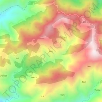
Name: Karti topographic map, elevation, terrain.
Location: Karti, Lansdowne, Pauri Garhwal, Uttarakhand, 246173, India (29.96775 78.54424 30.00775 78.58424)
Average elevation: 1,487 m
Minimum elevation: 1,009 m
Maximum elevation: 1,913 m
Thank you for supporting this site ❤️
Make a donation
Make a donation