
Thank you for supporting this site ❤️
Make a donation
Make a donation
Williamsburg topographic map
Click on the map to display elevation.
Thank you for supporting this site ❤️
Make a donation
Make a donation
About this map
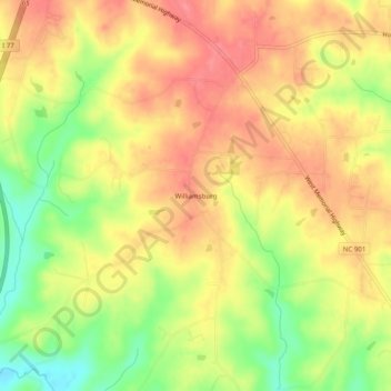
Name: Williamsburg topographic map, elevation, terrain.
Average elevation: 293 m
Minimum elevation: 246 m
Maximum elevation: 324 m
Thank you for supporting this site ❤️
Make a donation
Make a donation
Other topographic maps
Click on a map to view its topography, its elevation and its terrain.
Lake Norman
United States > North Carolina > Iredell County > Mooresville
Lake Norman and the surrounding shoreline serve as a habitat for a diverse array of plants and wildlife, as well as a place for a myriad of human activities. Maintaining this habitat to simultaneously preserve endangered species, keep invasive species at bay, and maintain health and safety standards for the…
Average elevation: 254 m
Lake Norman State Park
United States > North Carolina > Iredell County > Troutman
Average elevation: 247 m
Thank you for supporting this site ❤️
Make a donation
Make a donation