
Ravenna topographic map
Click on the map to display elevation.
About this map
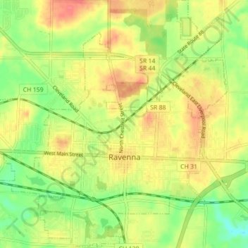
Name: Ravenna topographic map, elevation, terrain.
Location: Ravenna, Portage County, Ohio, 44266, United States (41.13838 -81.27892 41.19079 -81.21313)
Average elevation: 336 m
Minimum elevation: 306 m
Maximum elevation: 362 m
Other topographic maps
Click on a map to view its topography, its elevation and its terrain.