
崇贤社区 topographic map
Interactive map
Click on the map to display elevation.
About this map
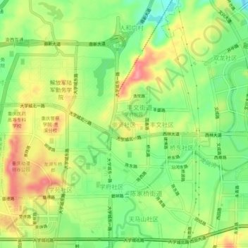
Name: 崇贤社区 topographic map, elevation, terrain.
Location: 崇贤社区, 沙坪坝区, 重庆市, 401331, 中国 (29.60862 106.30921 29.64862 106.34921)
Average elevation: 292 m
Minimum elevation: 247 m
Maximum elevation: 344 m
Other topographic maps
Click on a map to view its topography, its elevation and its terrain.