
Thank you for supporting this site ❤️
Make a donation
Make a donation
Gorges du Verdon topographic map
Click on the map to display elevation.
Thank you for supporting this site ❤️
Make a donation
Make a donation
About this map
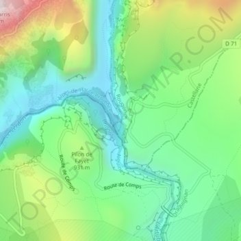
Name: Gorges du Verdon topographic map, elevation, terrain.
Average elevation: 841 m
Minimum elevation: 556 m
Maximum elevation: 1,436 m
Thank you for supporting this site ❤️
Make a donation
Make a donation
Other topographic maps
Click on a map to view its topography, its elevation and its terrain.
Chalet de la Maline - Verdon
France > Provence-Alpes-Côte d'Azur > Alpes-de-Haute-Provence > La Palud-sur-Verdon
Average elevation: 978 m