
Thank you for supporting this site ❤️
Make a donation
Make a donation
Jelav topographic map
Click on the map to display elevation.
Thank you for supporting this site ❤️
Make a donation
Make a donation
About this map
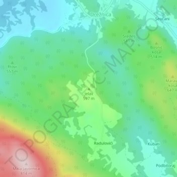
Name: Jelav topographic map, elevation, terrain.
Location: Jelav, Grad Ogulin, Karlovac County, 47313, Croatia (45.12529 15.08870 45.12539 15.08880)
Average elevation: 557 m
Minimum elevation: 452 m
Maximum elevation: 803 m
Thank you for supporting this site ❤️
Make a donation
Make a donation