
Thank you for supporting this site ❤️
Make a donation
Make a donation
Russell topographic map
Click on the map to display elevation.
Thank you for supporting this site ❤️
Make a donation
Make a donation
About this map
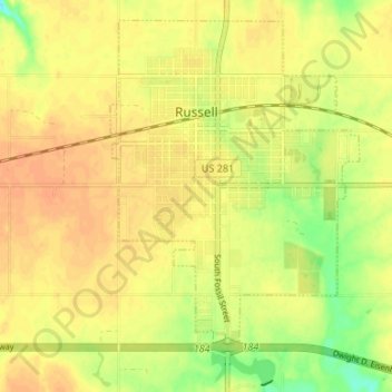
Name: Russell topographic map, elevation, terrain.
Location: Russell, Russell County, Kansas, United States (38.86079 -98.87448 38.90744 -98.80778)
Average elevation: 561 m
Minimum elevation: 538 m
Maximum elevation: 571 m
Thank you for supporting this site ❤️
Make a donation
Make a donation