
Thank you for supporting this site ❤️
Make a donation
Make a donation
Bayat topographic map
Click on the map to display elevation.
Thank you for supporting this site ❤️
Make a donation
Make a donation
About this map
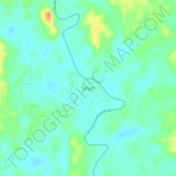
Name: Bayat topographic map, elevation, terrain.
Location: Bayat, Lamandau, Central Kalimantan, Kalimantan, Indonesia (-1.80497 111.40360 -1.76497 111.44360)
Average elevation: 32 m
Minimum elevation: 17 m
Maximum elevation: 74 m
Thank you for supporting this site ❤️
Make a donation
Make a donation
Other topographic maps
Click on a map to view its topography, its elevation and its terrain.