
Thank you for supporting this site ❤️
Make a donation
Make a donation
Concord topographic map
Click on the map to display elevation.
Thank you for supporting this site ❤️
Make a donation
Make a donation
About this map
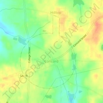
Name: Concord topographic map, elevation, terrain.
Location: Concord, Pike County, Georgia, United States (33.08407 -84.44710 33.10338 -84.42986)
Average elevation: 249 m
Minimum elevation: 227 m
Maximum elevation: 269 m
Thank you for supporting this site ❤️
Make a donation
Make a donation